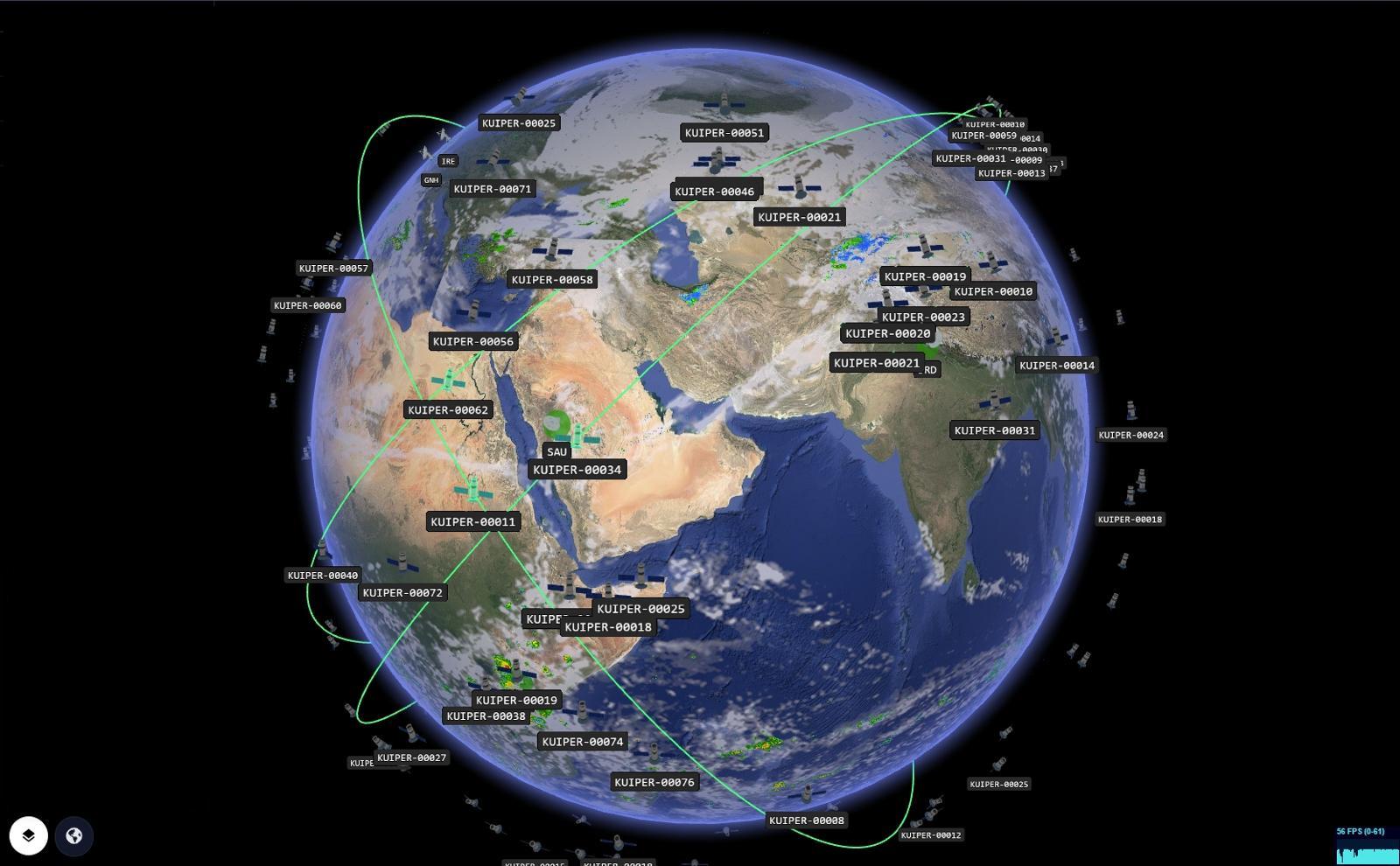
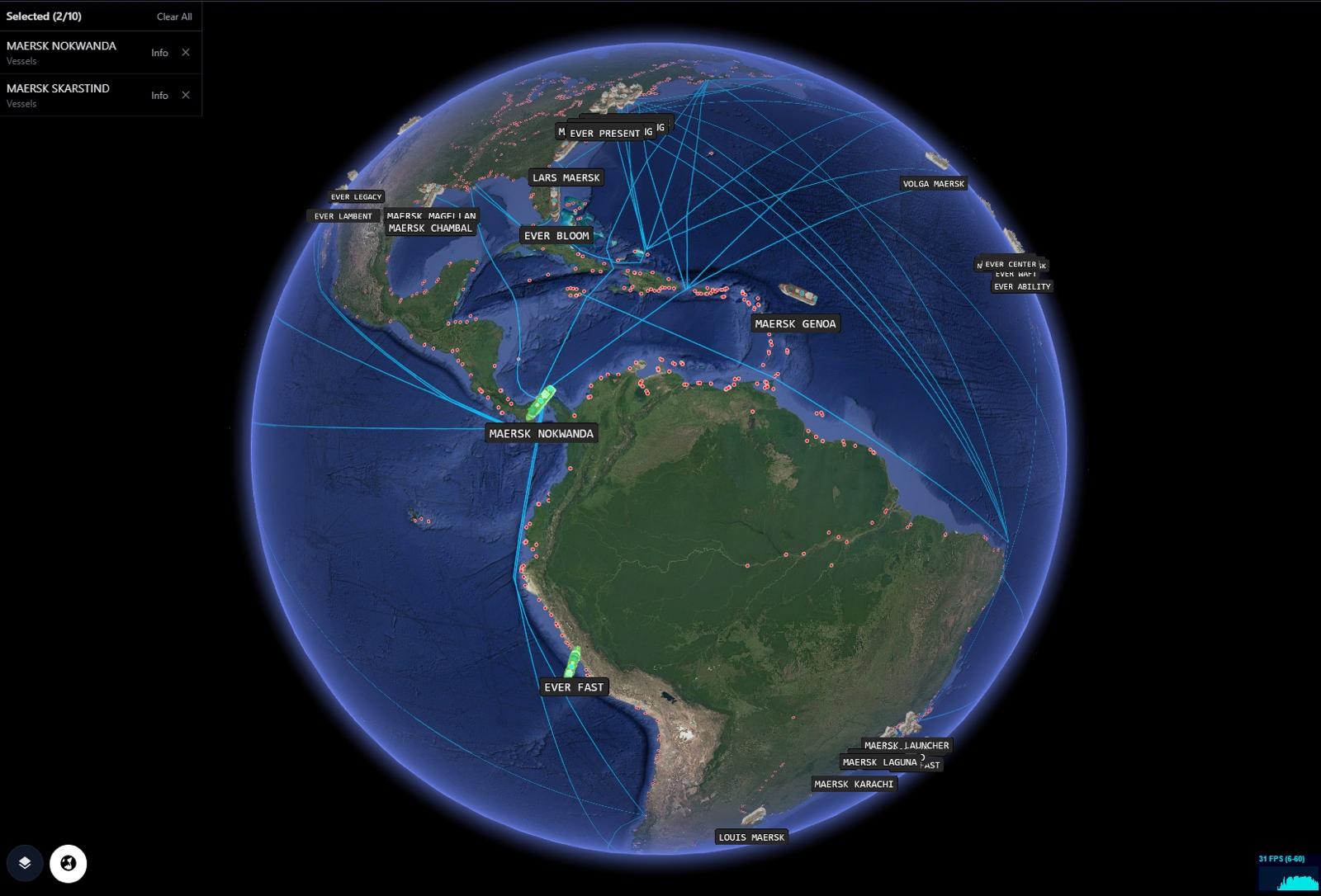
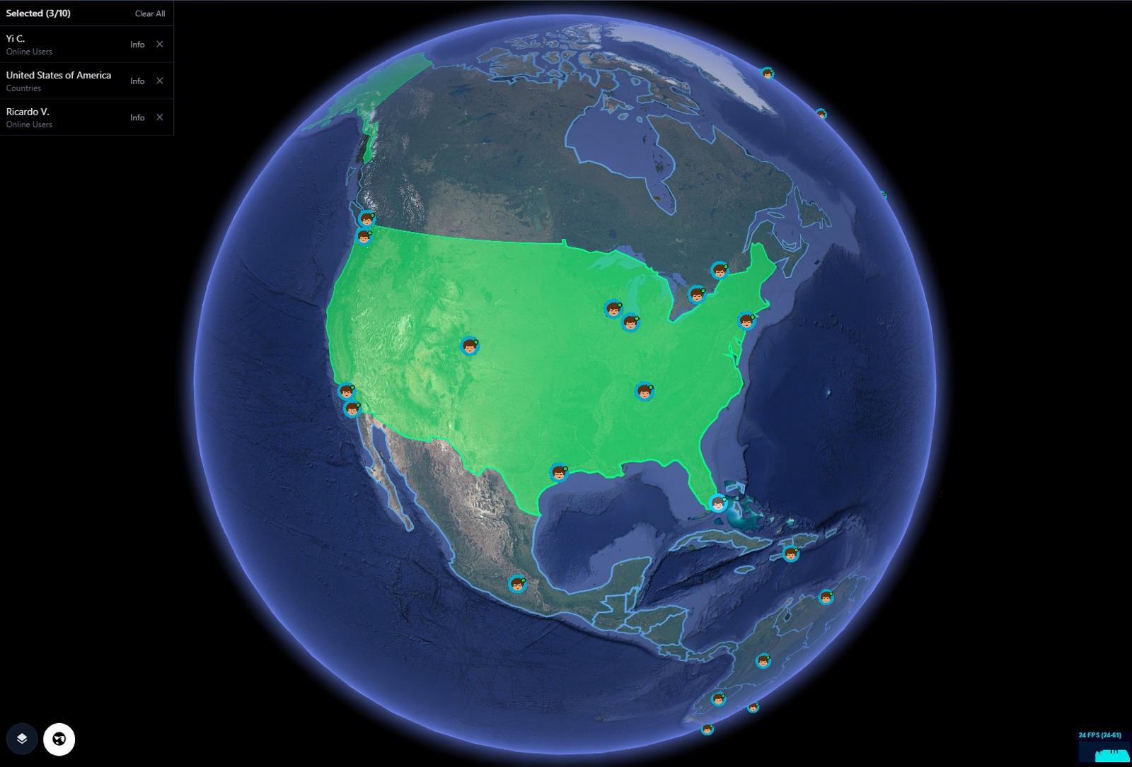
Bring a global view into your perspective - operational awareness in real-time 3D.
Most NOCs jump across multiple tools, flat maps, and spreadsheets just to find where the problem is. GRIP 3D unifies global operations into a single, live 3D view — integrated into your existing stack.
Layer-first platform • Partner APIs available • Open to consulting engagements

Layers approach. Partner APIs. Built to plug into your stack.
GRIP 3D is designed as a layer-first platform: connect your sources, choose overlays, and render operational reality on a live 3D globe. We support partner-friendly APIs and are open to consulting engagements to accelerate enterprise deployment.
We can help you ship this in production.
We’re open to consulting opportunities: discovery workshops, integration architecture, data pipelines, UI/UX, performance tuning, and operationalization for enterprise teams and partners.